Fishing The Ure At Masham
2019-10-22 Burn Woods
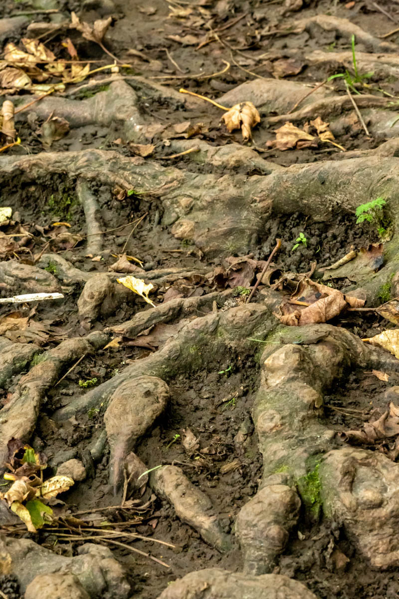
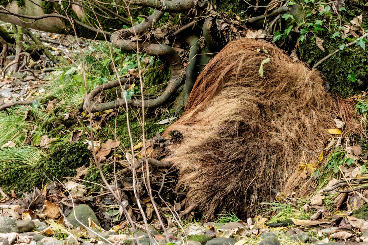
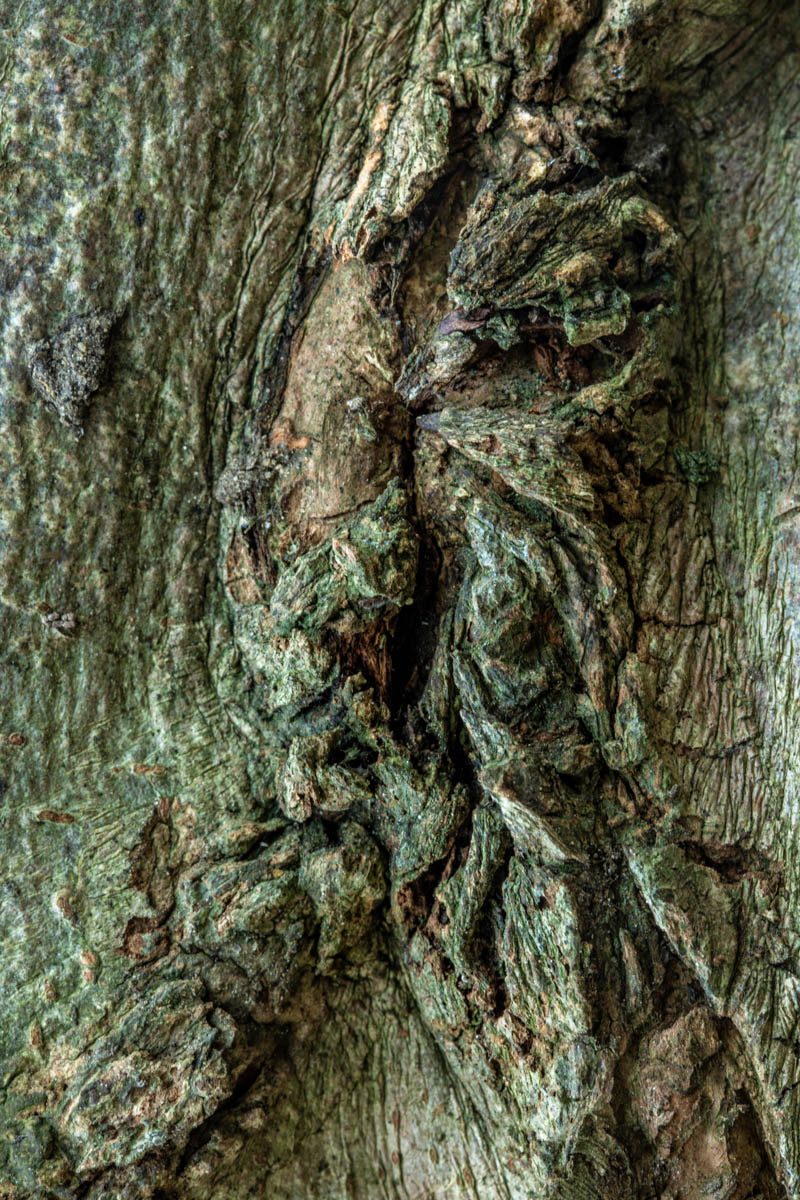
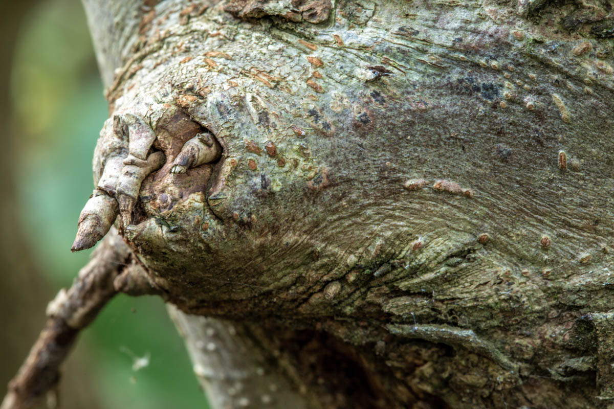
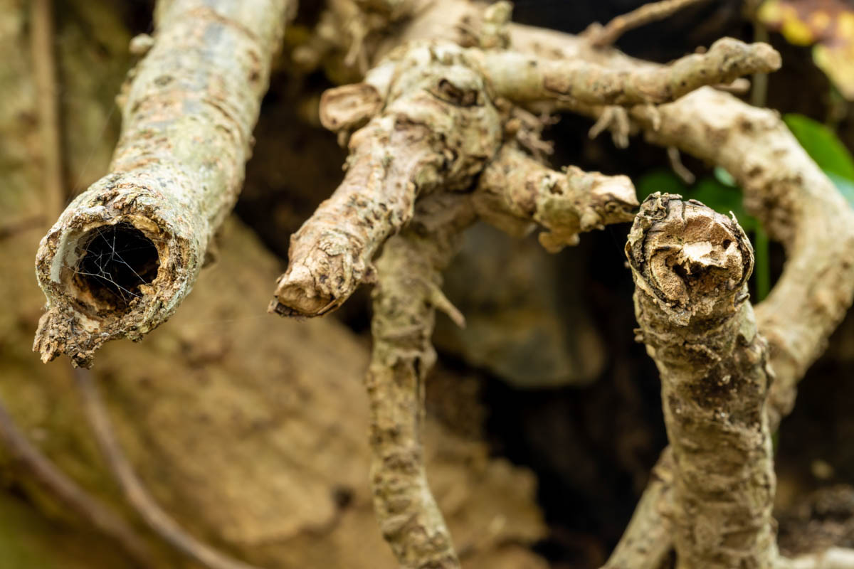
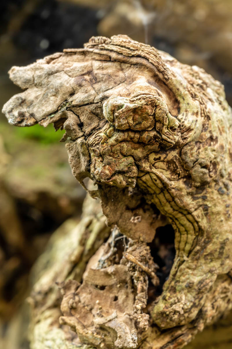
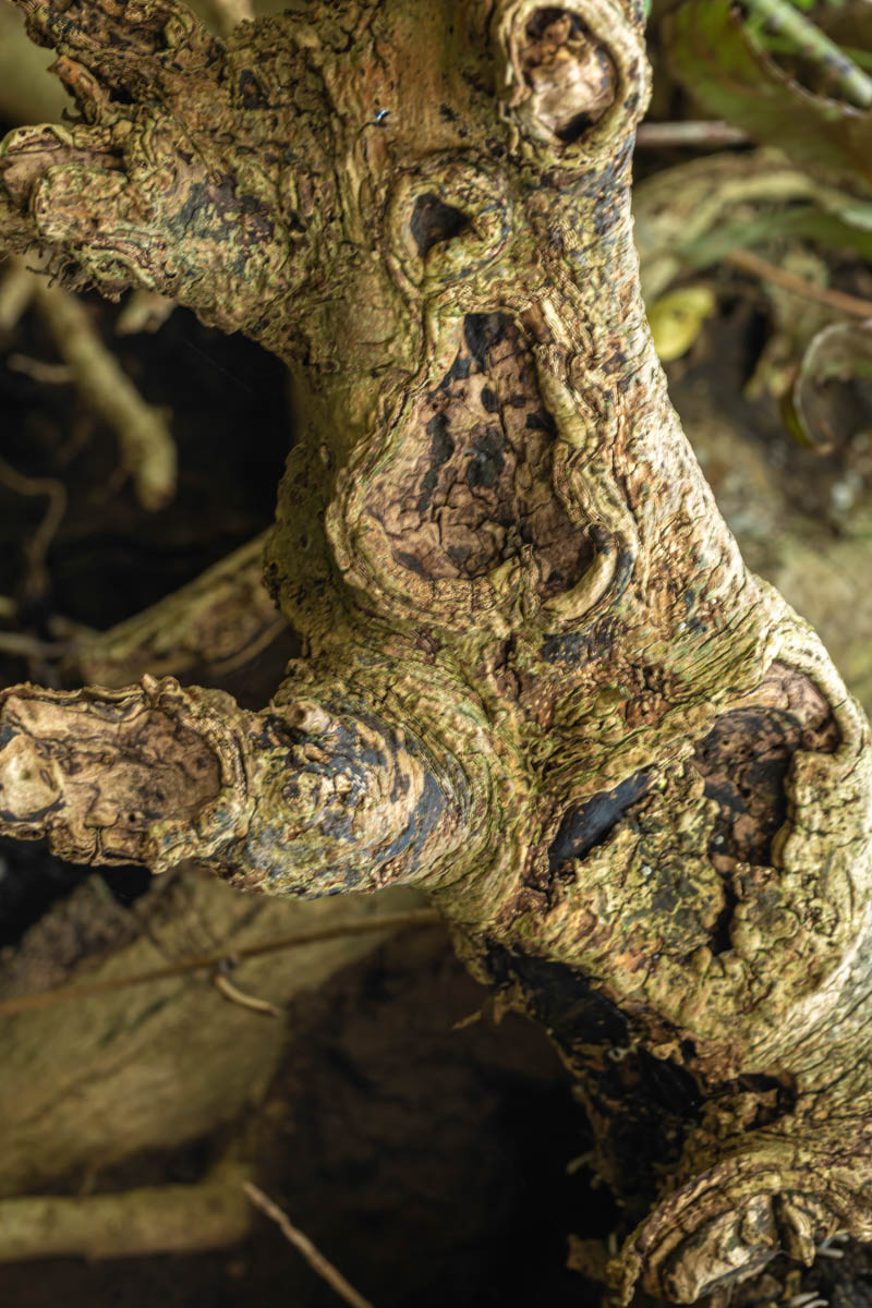
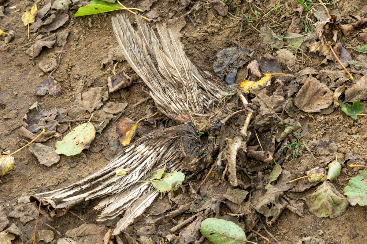
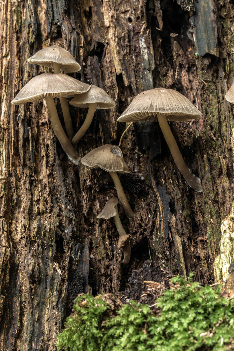
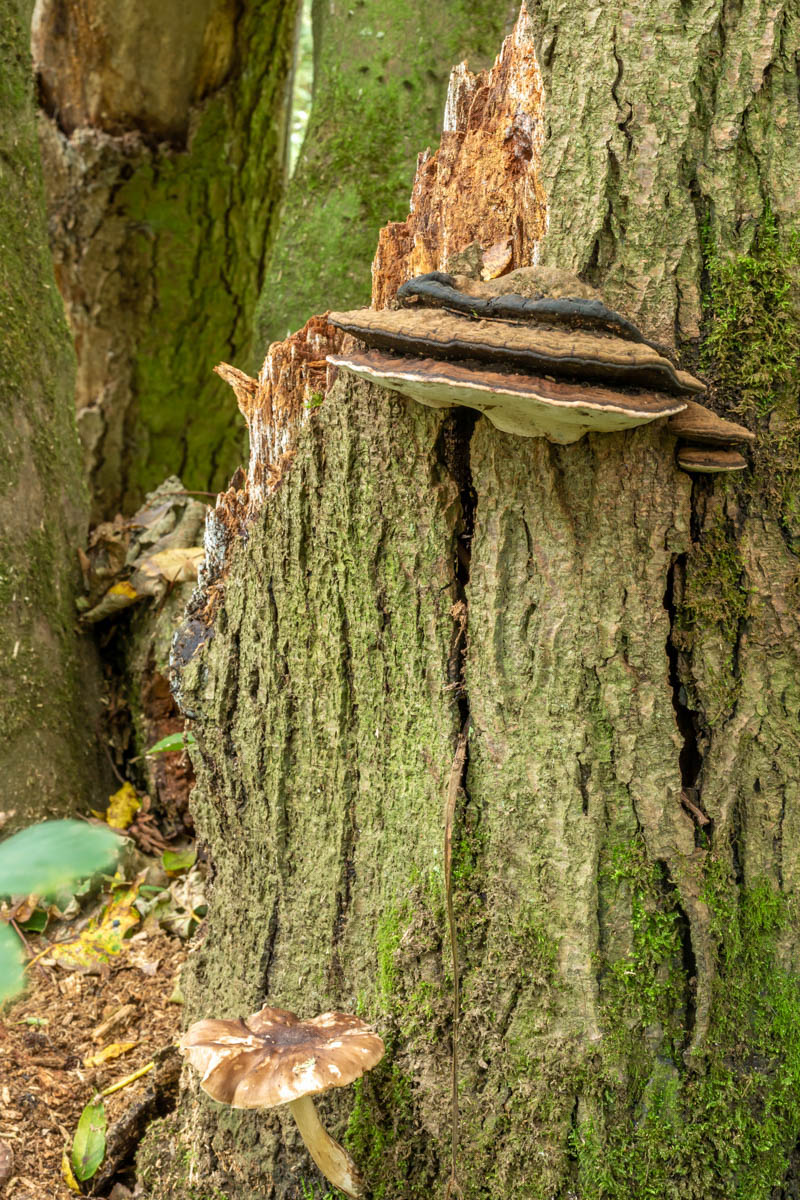
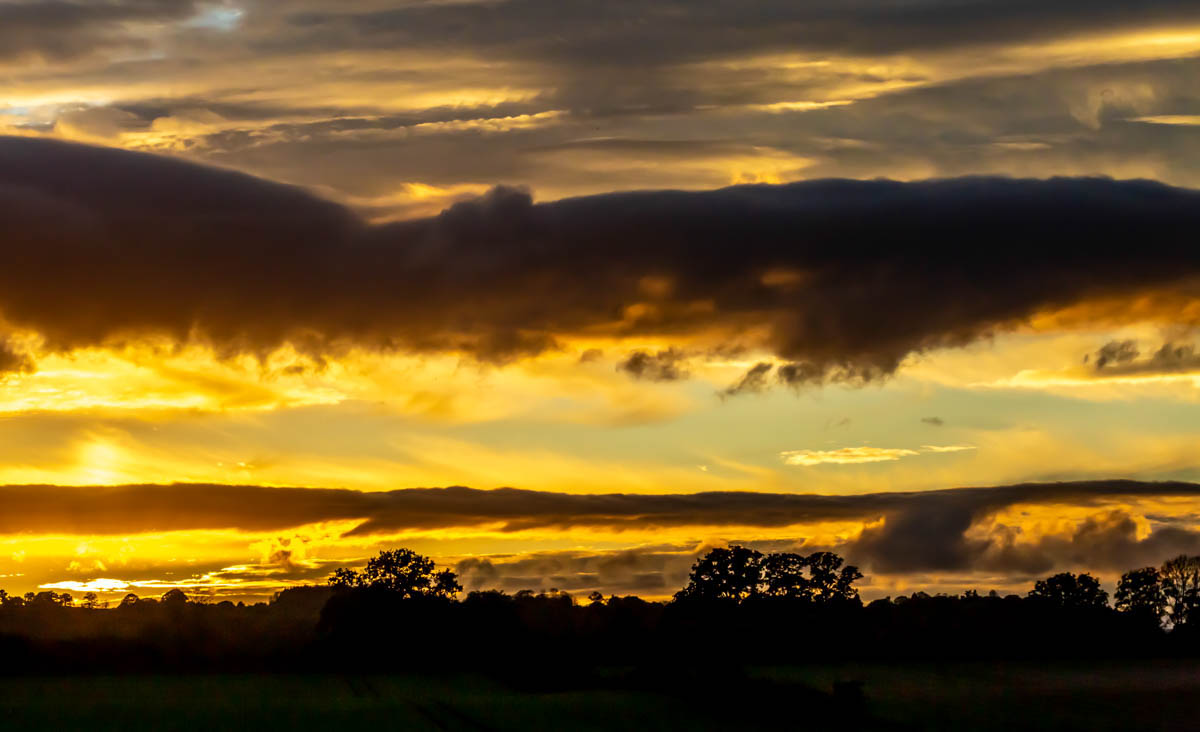
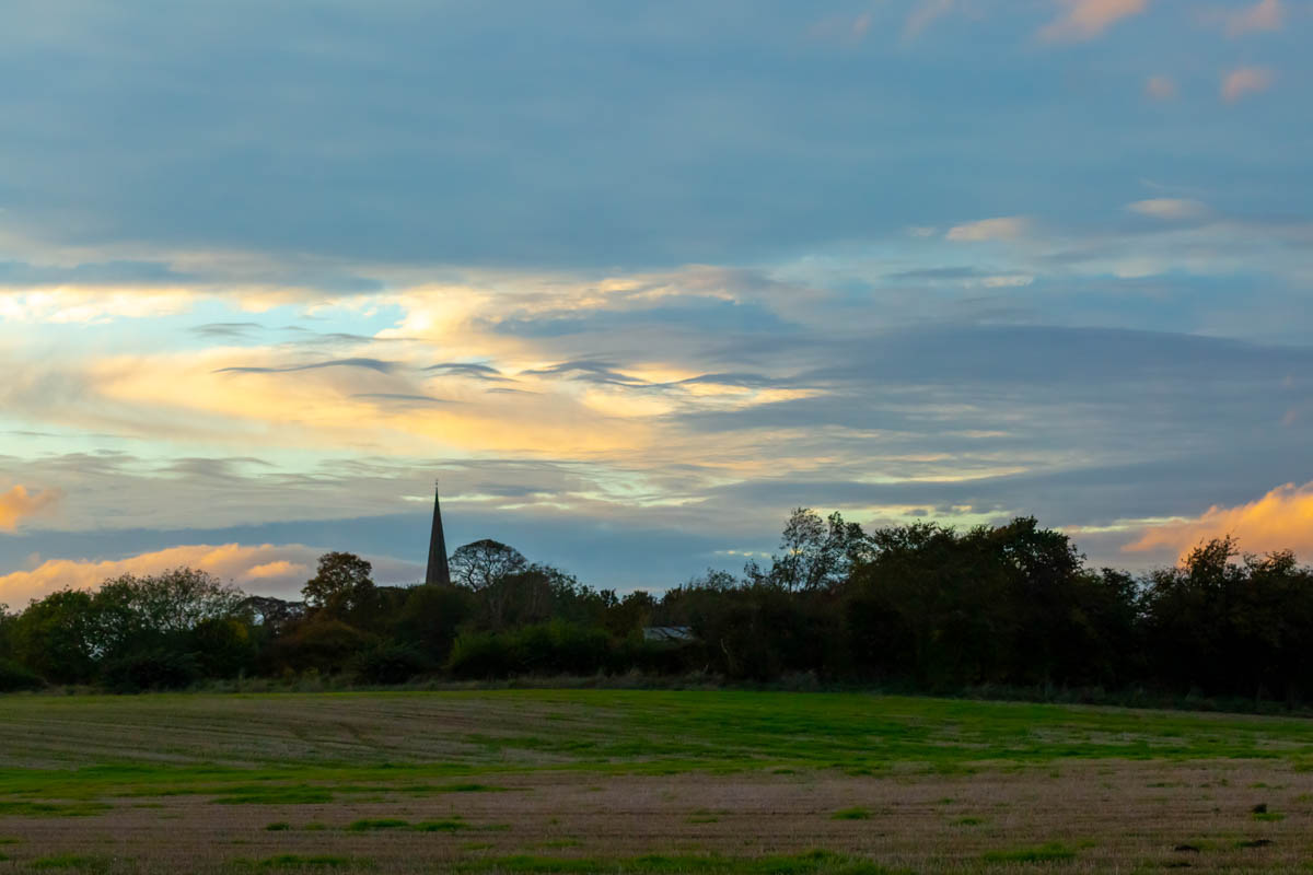
This session with the camera, followed a trail through the woods that line the lower River Burn as it joins the Ure. It was a warm very overcast humid day. The light screened through the clouds was very soft and allowed me to easily capture shots in the trees. Find what you can photograph not what you want to photograph, and it will save you thousands of lost hours over the years, in post-production trying to get something that wasn’t there. I tried to get some differing images of trees for the project. I also found another image for my roadkill project, even though it is not roadkill per se, meaning the collection will need another title now as this fits, with its placeholder titling of dead duck flying.
About Masham
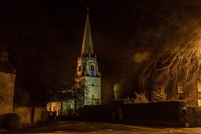
Masham – originally Maessa’s Ham – probably owed its foundation to the gentle, flood-proof rise on which it stands, near an easily fordable part of the River Ure, together with its proximity to the course of a Roman road and its position on the main route from Wensleydale to York.
The present square with its beautiful Georgian houses was created in the 18th century. The huge market place would originally have been surrounded by thatched cottages and was the site for annual Sheep Fairs with over 80,000 heads of sheep being sold some years, including animals from the flocks of nearby Fountains and Jervaulx Abbeys.